Blog
16 Nov 2026
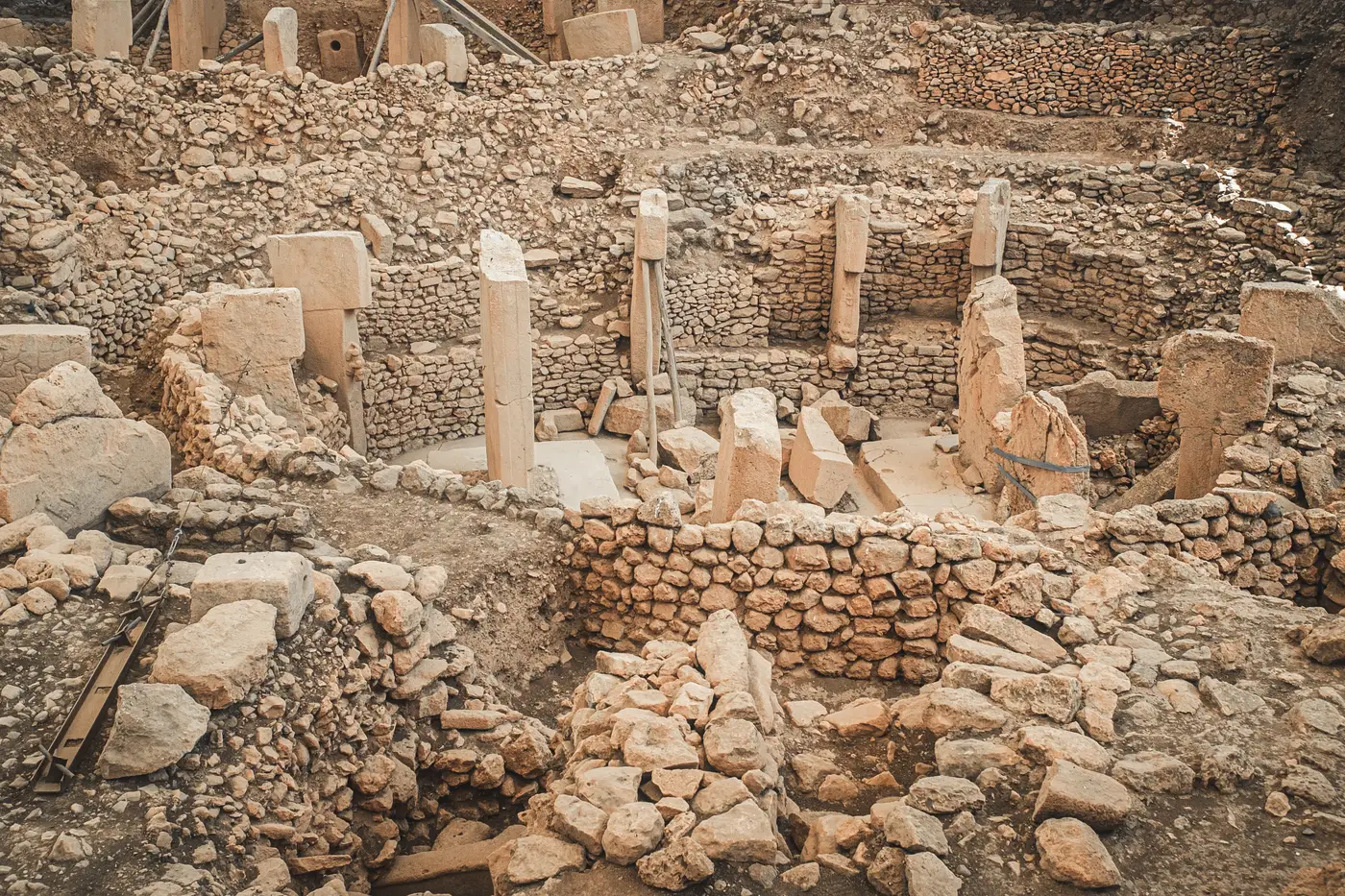 Field notes: the tell that grew forty new pits between two passes
A quarterly imagery pair shows forty fresh pits on a mound. The nearest village says it saw nothing. What the gap between the two actually means.
16 Nov 2026
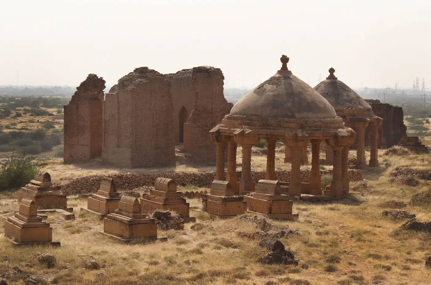 What a tell is, and why its shape skews your looting pit count
Why mound geometry on a tell changes how looting pits show up in imagery, and why stratigraphy exposed by a cut matters more than the raw count.
9 Nov 2026
 Vehicle tracks in satellite imagery: normal traffic or looting access?
A field guide to telling routine site traffic apart from fresh looting access tracks in VHR satellite imagery, quarter over quarter.
9 Nov 2026
What is a disturbance count, and how do monitoring officers use one?A plain definition of a disturbance count for heritage monitoring officers, what it covers, and how it fits a quarterly review of a site.
2 Nov 2026
Field notes: when a pit timestamp meets an auction photographA field-notes reflection on how dated disturbance imagery and auction-house photographs sometimes line up, and what that means for monitoring officers.
2 Nov 2026
Looting pit or collapsed qanat shaft: telling the two apart in VHR imageryHow monitoring officers tell a fresh looting pit from a collapsed qanat or karez shaft in VHR satellite imagery, and why timing matters more than shape.
26 Oct 2026
 How to tell a looting pit from a utility trench in satellite imagery
Shape, spoil placement, and timing cues that separate looting pits from utility trenches when reviewing VHR imagery of a monitored site.
26 Oct 2026
What is a pre-conflict baseline image, and why your site file needs oneWhat a pre-conflict baseline image is, why heritage monitoring files need one, and how to pull a usable one for a site under watch.
19 Oct 2026
Field notes: the mission that never got its ground visitA monitoring officer's notes on the sites that drop off the travel roster and what's left to work with when the ground visit never happens.
19 Oct 2026
What counts as illicit excavation under the 1970 UNESCO ConventionA field guide to what the 1970 UNESCO Convention covers when it comes to illicit excavation, and where national law picks up the rest.
14 Oct 2026
How to tell a looting pit from a natural sinkhole in satellite imageryField-tested visual cues for separating looting pits from karst collapse in VHR imagery, plus when ground truthing is the only way to be sure.
14 Oct 2026
 What is a cultural property inventory, and why monitoring depends on one
A cultural property inventory is the fixed list a monitoring programme checks each cycle. Here's what it holds and why monitoring needs one.
13 Oct 2026
Fresh looting pits vs old plow scars: what to look for in VHR imageryHow to tell a fresh looting pit from an old plow scar using shadow geometry, spoil color, and pattern in VHR satellite imagery.
13 Oct 2026
Looting pit or bomb crater? Reading ground disturbance in VHR imageryHow to separate looters' pits from shell and bomb craters in very high resolution satellite imagery, using shape, spoil pattern and site context.
7 Oct 2026
Archival satellite imagery vs. tasking a new pass for heritage site monitoringWhen to pull from the archive and when to task a fresh collection over a monitored heritage site, and what each choice costs you in time and detail.
7 Oct 2026
How cloud cover still limits usable imagery over arid conflict zonesWhy dust, haze, and seasonal cloud still cut into usable VHR frames over arid heritage sites, and what that means for your review cadence.
7 Oct 2026
Prioritizing at-risk heritage sites on a limited monitoring budgetA practical risk-tiering method for choosing which heritage sites to image first when conflict-zone monitoring budgets can't cover the whole inventory.
7 Oct 2026
What is the UNESCO danger list for World Heritage sites?What the UNESCO Danger List is, how sites get added under the Operational Guidelines, and what the criteria look for on the ground.