What a tell is, and why its shape skews your looting pit count
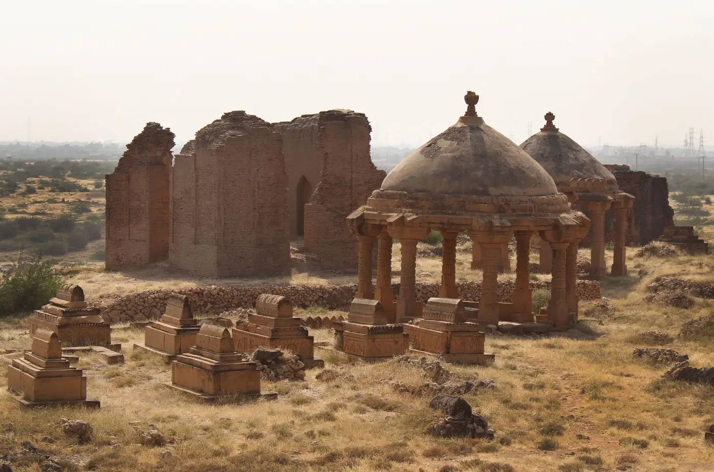
What a tell actually is
A tell is a mounded settlement site built up over centuries or millennia of occupation, collapse, and rebuilding on the same footprint. Mudbrick walls fall, floors get leveled, new rooms go up on the rubble. Repeat that cycle long enough and you get a hill that is entirely artificial, layered like a cake, oldest material at the bottom, most recent near the crown.
That layering, stratigraphy, is the whole reason a tell matters to anyone doing site condition work. Each layer holds material from a specific period. Cut into one and you are cutting into a date.
Why the shape matters when you're counting pits
On a flat site, a looting pit reads one way: a dark, roughly circular disturbance against a consistent background, with a visible spoil pile nearby. Counting those from VHR imagery is mostly a shadow-and-texture exercise.
A tell changes the geometry. The mound slopes, often steeply, and that slope affects how pits show up in a few ways. Shadow length and direction shift across the same mound depending on sun angle and which side of the slope a pit sits on, so two pits of identical depth can throw very different shadows. Spoil doesn't stay put either: on a slope, dug material slides or gets pushed downhill, so the pit and its spoil pile can separate by a meter or more, and a careless pass can register them as two features instead of one. And the summit plateau, the slopes, and the lower skirt of a tell each erode and weather differently, so the "normal" background texture you're comparing against isn't uniform across the mound the way it would be on flat ground.
None of this makes a tell impossible to monitor. It means a raw pit count needs slope position accounted for, not a single detection threshold applied blind across the whole site.
Stratigraphy exposed by looting, and why it's the real signal
The damage that matters most on a mounded site often isn't the pit count by itself. It's what the pit exposes. A trench cut into the flank of a tell can slice through several occupation layers in a single pass, which is exactly what looters are after: it's the fastest way to hit a burial, a kiln, or a wall with saleable material without digging down slowly from the top.
A shaft straight down from the summit and a lateral cut into the side of the same mound aren't equivalent events, even if they displace the same volume of soil. The lateral cut is tearing through a cross-section of the site's history in one go. A quarter-by-quarter comparison over a tell needs to register where on the mound new disturbance lands, not just how many new dark patches appear this cycle.
Reading the count, not just the pits
For an officer running a review cycle, this comes down to treating "new disturbance on this mound" as a question with more dimensions than a tally. Position on the slope, size, and whether a pit lines up with a known or suspected architectural feature all change how urgent that pit is, independent of whether it's disturbance number four or disturbance number forty that quarter.
Looting Monitoring compares dated VHR imagery of the same mound across a quarter and returns the before/after pair with the new disturbance flagged, so a count on a tell means what it should instead of flattening slope, shadow, and spoil into one undifferentiated number.
If your monitored sites include mounded tells and the quarterly comparison is still done by eye against an old archive frame, it's worth seeing what a flagged before/after pair looks like for your own ground.