What is a pre-conflict baseline image, and why your site file needs one
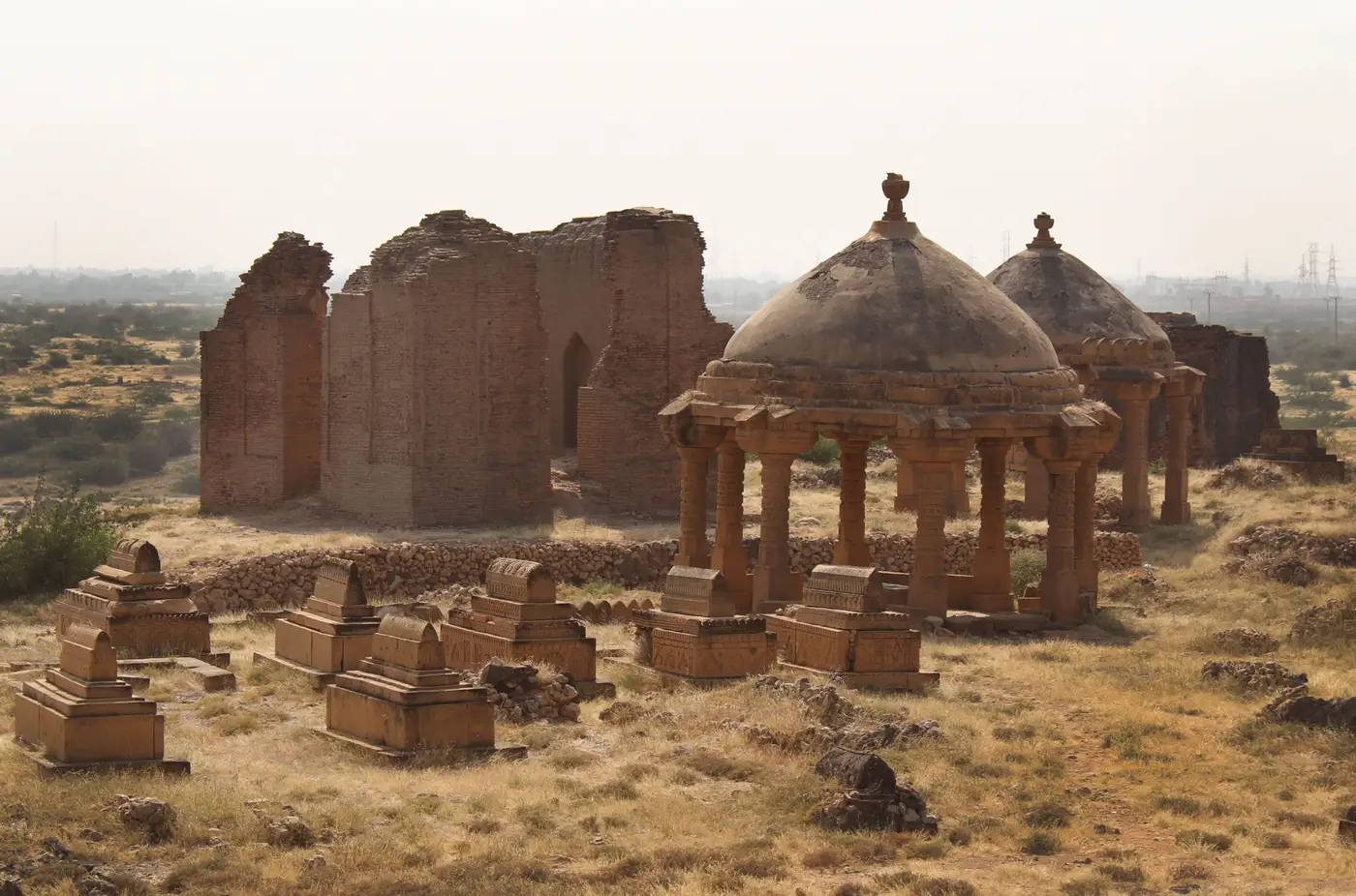
A pre-conflict baseline image is the dated satellite or aerial frame of a site taken before fighting, occupation, or civil unrest reached it. It's the reference frame everything after gets measured against. Without it, an officer looking at a 2024 frame of a tell in northern Syria or a necropolis outside Mosul has no way to tell a fresh looting pit from a decades-old excavation trench, or a berm from an old agricultural terrace.
What counts as a usable baseline
Not every pre-war frame does the job. A baseline worth building a monitoring file around needs to be:
- dated and sourced, ideally VHR at 0.5 m GSD or finer
- taken during a period of known, stable site condition, not just "before the war started" in the general sense
- close to the imaging conditions of later comparison frames (season, sun angle) where you have any choice in the matter
- cropped to the full site extent, not just the scheduled monument boundary, since looting often starts at the edges
A low-resolution Landsat frame from 2008 will confirm the tell was still standing. It won't show a 2x3 m pit, so it can't tell you whether the surface was already disturbed before the fighting arrived.
Why a monitoring file needs one, not just access to an archive
Most heritage bodies already hold pre-war imagery somewhere: a World Heritage nomination file, a national antiquities inventory, or a commercial archive going back well before 2011. What's usually missing is the step after that: pulling the right frame for a given site, cropping it, dating it, and setting it as the fixed reference point everyone working that file uses.
Without that step, each reviewer ends up comparing against whatever "before" frame they happen to have open. One officer flags new disturbance off a 2015 pass, another off a 2019 one, and the pit count stops meaning the same thing from report to report. A damage assessment commissioned after a ceasefire then has to start by reconstructing what undisturbed condition even looked like, often from whichever frame turns up fastest rather than the best one on file.
A fixed baseline, chosen once and logged with its source, date, and sensor, gives the site a stable denominator. Every quarterly pass gets compared against the same ground truth, so a pit count in the Q3 report means what it meant in Q1.
Pulling a baseline for a site you're adding to a watch list
If a site is going onto a monitoring list, the baseline is the first task, not something to backfill later.
- Check national and international archives first. UNESCO nomination files and pre-2011 commercial VHR tasking over Syria, Iraq, Yemen, and Libya already cover a surprising number of scheduled sites.
- Pick the latest frame that predates the conflict onset or occupation for that specific site, not a generic national date. Looting at one tell can start years before fighting reaches the valley next to it.
- Confirm the resolution actually resolves ground-scale disturbance: a 2x3 m pit or a fresh vehicle track, at the GSD you're working with.
- Log it in the site file: source, acquisition date, sensor, GSD. Once it's in, treat it as fixed.
Where the real work starts after that
Finding the baseline isn't the hard part. Checking it against every quarter's new tasking, site by site, across a list that might run to dozens of monuments, is what eats a review cycle. It usually means two tabs open side by side, deciding whether a dark patch is a new pit or a shadow thrown by a different sun angle.
Looting Monitoring takes the baseline already sitting in your site file and the current quarter's VHR pass, and returns the pair with new pits and vehicle tracks dated and flagged. If a baseline is already logged for a site on your list, that comparison can run against this quarter's imagery automatically instead of by eye.